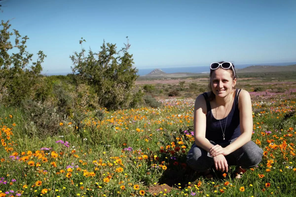
What role does the Ecological Infrastructure (EI) concept play in systematic conservation planning in the coastal zone? Can the EI concept be used as a framework for mapping ecosystem services? These are some of the questions Myriam Perschke, junior researcher in the MeerWissen project CoastWise, addresses in her recently published PhD thesis. She aimed to investigate EI as a framework for mapping ecosystem services for integration into systematic conservation planning and her conclusions are encouraging: according to Perschke, using EI is a promising option to integrate ecosystem services into systematic conservation planning.
In her study Perschke aimed to develop and apply a flexible and spatially accurate EI-mapping method to identify and comprehensively evaluate EI performance. She used EI as a framework for mapping biodiversity-based ecosystem services, evaluated the demand, flow, and capacity of the ecosystem services, and used causal relationships to approximate EI performance. Using that EI-mapping method, Perschke produced a high-resolution map of EI performance and identified EI sites with very high single- and multiple-service performance. Her approach showed that this method is sufficiently flexible to be suitable in multiple contexts.
Myriam Perschke conducted her research as part of the MeerWissen CoastWise project that has been running in South Africa since 2019. Gaining information on the development of new strategies to map marine and coastal ecosystems is one of the main objectives of the CoastWise project, which shows how essential Perschke’s research was for the project development.
If you want to find out more about Perschke’s research and learn more about what she discovered through her research, you can read the thesis online now:


