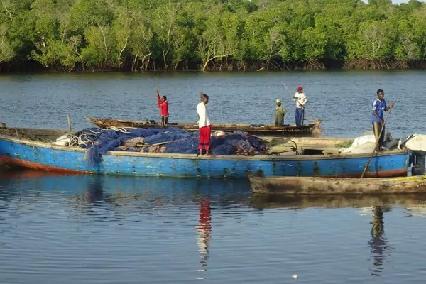
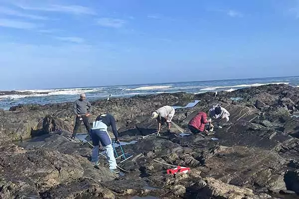
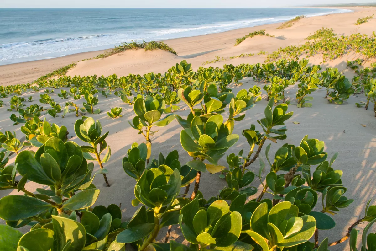
CoastWise - Improving knowledge for integrated management of the land-sea interface in South Africa

Country/Region
South Africa
Project duration
October 2019 to October 2021
project summary
In South Africa, as in many other countries, terrestrial and marine planning have traditionally been separate exercises. Although there is growing understanding that planning must take account of both land and the sea, the multiple and diverse land-sea interactions are still poorly understood by researchers as well as stakeholder communities and decision-makers. Only an integrated approach can properly reflect the connectivity and diversity of the coastal and marine environment and the many connections humans have with coasts and oceans.
The CoastWise project brings together five complementary partner institutions to improve the integrated assessment of South Africa’s land-sea interface. Its aim is to enhance the available knowledge base for informed decision-making, filling important knowledge gaps, translating this knowledge into formats that can be used in spatial management, and building capacity in South Africa and the region.
CoastWise generates new data and knowledge on coastal ecosystems such as rocky shores and estuaries. It uses new and innovative technology such as high-resolution remote sensing, drones and visual surveys, but also includes social science components to identify socio-cultural knowledge and values. Scientific results are translated into new spatial layers that can be fed into GIS-based databases and maps where they can be used in decision-making.
A key objective of CoastWise is to raise awareness of the value of coastal and marine habitats among coastal communities and decision makers. Innovative digital communication tools (e.g. video briefs for ministers and expert YouTube clips for decision-makers) are combined with more classic policy briefs and direct interaction with governmental working groups. Other key beneficiaries include coastal and marine stakeholders, local communities, policy-makers, as well as scientists and students.
Key Targets
Improve the integrated assessment of South Africa’s land-sea interface to enhance the knowledge base for informed decision-making
Advances in ecosystem classification, mapping and assessment across the land-sea interface
Development and pilot testing of new methodologies for integrated coastal ecosystem assessment, mapping and valuation
Development of digital solutions for the dissemination of new ecosystem data layers and ecosystem knowledge
Improved framework conditions for decision-making through enhanced and accessible knowledge
Capacity building with regards to innovative mapping and assessment techniques in South Africa and the region
project news

PhD Thesis published: Ecological Infrastructure in Systematic Conservation Planning
What role does the Ecological Infrastructure (EI) concept play in systematic conservation…

MeerWissen Webinar: Deep Dive with CoastWise
The project “CoastWise - Improving knowledge for integrated management of the land-sea…
areas of work
Improving integrated coastal assessment
- Write an integrated coastal assessment report
- Workshop and plan for “doing it better next National Biodiversity Assessment (NBA)”
Increasing the knowledge base for coastal assessment and management
- Drone technology to improve mapping of coastal habitats
- Remote sensing technology to understand sediment dynamics and fluvial flows
- Machine learning algorithms to automatically annotate images from benthic surveys
- Apply the critical biodiversity area (CBA) approach
- Innovative coastal ecological infrastructure (EI) assessment and mapping
- Assessing the socio-cultural values associated with coastal ecosystems
Increasing capacities for coastal assessment and management
- Enable the completion of M.Sc. degrees and M.Sc. theses
- Contribute to PhD level study
- Engage in regional dialogue and networking to share project lessons
- Organise and contribute to conferences (sessions) and workshops to showcase project results
- Identify further opportunities to improve and embed coastal management
Enhancing coastal literacy of communities and decision-makers
- Video brief for ministers with 360° camera
- Short YouTube clips of experts to convey key messages of project to e.g. local municipalities
- Factsheets as a quick knowledge transfer tool
- Briefs for government working groups
- New social spatial layers to include in OCIMS
- Increased coastal literacy of national and regional communities, practitioners and decision-makers
Partners

South African National Biodiversity Institute (SANBI)

Leibniz Centre for Tropical Marine Research (ZMT)

Institute for Coastal and Marine Research (CMR)

Division Human Dimensions of Coastal Areas (KSO)

Council for Scientific and Industrial Research (CSIR)