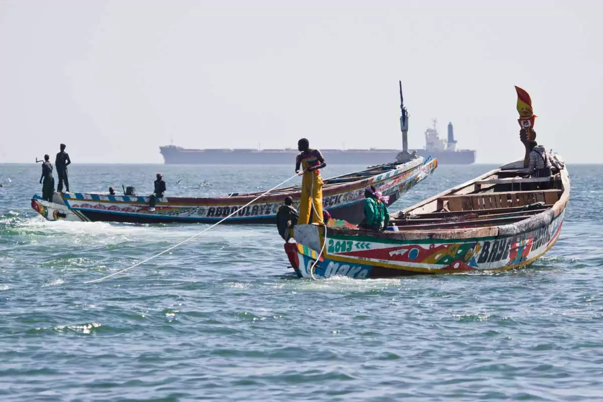
West African Biodiversity under Pressure (WASP)

Country/Region
Mauritania

Project duration
October 2019 to March 2022

project summary

West African Biodiversity under Pressure (WASP) partnership project will facilitate the mainstreaming of biodiversity protection, into the management of the fisheries sector, the Oil & Gas industry and Protected Areas policies.

Recent scientific findings indicate that the marine ecosystem in Mauritania is much more complex and vulnerable than previously thought, with the shelf break hosting extremely vulnerable ecosystems. Policy-makers need digital tools that allow them to analyze new insights into the vulnerability of the deeper water sections, in relation to human use. In this way, each economic sector can propose concrete management measures to avoid or mitigate negative impacts and to strengthen overall biodiversity protection – a prerequisite for achieving sustainable development.

To achieve this, the WASP project will set up an open marine GIS for decision-making, initiate the establishment of a national coastal and marine biodiversity reference collection, conduct DNA barcoding of marine species and initiate the establishment of a national barcode library, develop a long-term marine research strategy, and develop communication materials and strategies for outreach. Expected project outputs will feed directly into dissemination and rapid knowledge transfer to political decision makers, environmental and fisheries managers, and a wide range of other stakeholders.


Generate knowledge and understanding of coastal and marine ecosystem functions and services, and associated biodiversity, focusing on the newly described habitats and ecosystems of the shelf break feeding directly into dissemination and rapid knowledge transfer to political decision makers, environmental and fisheries managers, and a wide range of other stakeholders.


Providing a tool for a wide range of users and decision makers in the marine sciences, education, conservation and fisheries with georeferenced data on coastal and marine topics relevant to Mauritania in a user-friendly map format.


Planning and initiating the establishment of a national reference collection of marine organisms that will allow to objectively verify species identifications, thus becoming an important tool for biodiversity research, conservation and fisheries management.


Establishing a national barcode library, which will become an efficient species identification tool for fisheries and environmental management, complementing other activities related to sustainable fisheries management.


Developing a marine science strategy aiming at a long-term research partnership among IMROP, SGN, NM, and other partners.e biodiversity data


Facilitating the implementation of the measures described above through awareness raising about the new scientific insights into the vulnerability of Mauritania’s marine ecosystems.


areas of work

Setting up an open marine GIS for decision‐making

  • Analyzed and published data will be entered into the system, together with photographs and video footage of the Mauritanian upwelling region.
  • Underwater images, videos, and scientific publications will be made accessible. Request access to georeferenced data from other stakeholders in Mauritania.
  • Dissemination of information about the availability of the GIS and its value as a management and decision-making tool.
  • Continued intensive and needs-based GIS training to assure a long-term sustainability of the marine GIS.

Initiating the establishment of a national coastal and marine biodiversity reference collection

  • Temporary and long-term storage space for the collections in Mauritania will be identified.
  • Scientific publications about Mauritania’s coastal and marine biodiversity will be collated.
  • Joint field research and collection of specimens and associated data will be conducted along the coastline. This activity will include on-the job training in collecting, preserving and labelling specimens.
  • Information on species distribution will be entered into the marine GIS.

DNA barcoding of marine species; initiating the establishment of a national barcode library

  • Tissue samples will be taken and preserved until DNA barcoding.
  • Mauritanian counterparts will be trained and DNA barcoding will subsequently be conducted by the Mauritanian partner.

Developing a long-term marine research strategy

  • Priorities of research and dissemination of research outputs will be identified.
  • Proposals for future funding will be drafted and submitted, including requests for cruises by German research vessels off Mauritania.

Developing communication materials and strategies for outreach

  • Three whiteboard/video animations will be made to communicate the significance of new scientific insights into the vulnerability of the Mauritanian marine ecosystem for society.
  • An additional animation will be made to explain the use of the open marine GIS for decision-making, the importance of setting up a national coastal and marine biodiversity reference collection.
  • Workshops with different stakeholders will be organised.

Partners

Institut Mauritanien de Recherche Océanographique et des Pêches (IMROP)

Nature Mauritanie (NM)

Senckenberg Gesellschaft für Naturforschung (SGN)