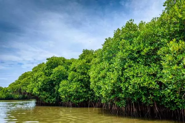
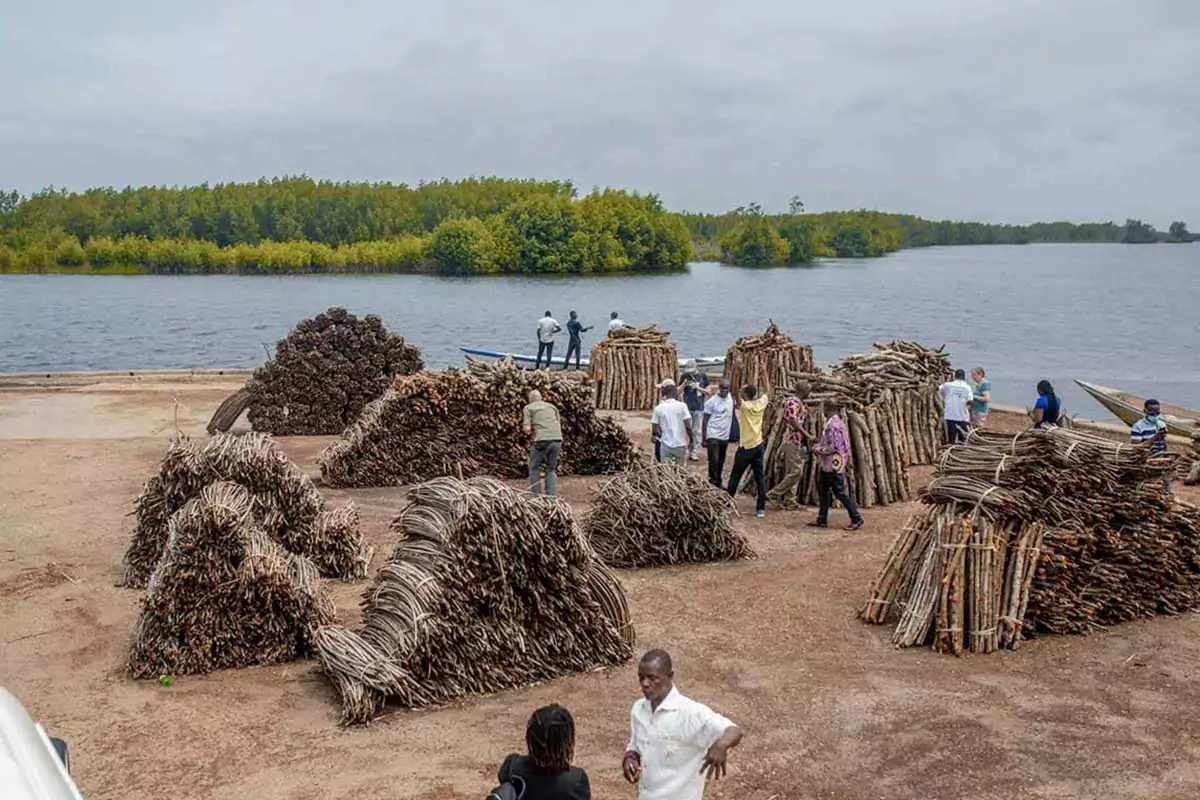
MANCOGA: Mangroves as Nature-based Solutions to Coastal Hazards

Country/Region
Ghana

Project duration: 2022 to 2025

project summary

The project “Mangroves as Nature-based Solutions to Coastal Hazards in Eastern Ghana” (MANCOGA) aims at developing decision support tools for mitigating erosion and flooding along Ghana’s east coast. To achieve this, the MANCOGA team will start adapting a Digital Twin for the local conditions that will enable What/If scenarios of flooding and erosion and work towards using mangroves as nature-based solutions (NbS).

Coastal hazards such as erosion, flooding, and pollution are major problems globally. Multiple factors hamper managing and improving these issues, for example the lack of data, insufficient communication structures among stakeholders and missing pathways to informed decisions with sustained impact.

MANCOGA aims at using mangroves to develop a robust and participatory Nature-based Solution (NbS) to reduce coastal hazards such as climate-relatedflooding, erosion, and pollution. The ultimate goal of the project is to increase community resilience and affluence.

To achieve its objectives, MANCOGA, using a co-design approach, collaborates with multilevel stakeholders to collect and analyze existing data, and identify gaps and gap-filling mechanisms. The team will adapt a Digital Twin to the conditions along the eastern coast of Ghana that can be used for What/If scenarios to support new products and on-demand models assessing and predicting the role of mangroves as NbS to coastal hazards. Furthermore, a digital toolbox will facilitate the collection, analysis and dissemination of archived and new observational data for knowledge-based decision-making via intuitive interactive tools for data summary, visualization, and presentation.

MANCOGA is aligned with the goals and objectives of the UN Ocean Decade. Other connected research and outreach efforts include the Coastal Ocean Environment Summer School in Ghana. Capacity development in MANCOGA will create an inclusive environment that will foster equality and equity, including diverse societal groups, active involvement of students, early career researchers, technical and administrative staff.


To adapt a Digital Twin of the Ocean to local conditions.


To put together an improved inventory of environmental data, a list of monitoring and data gaps, and model scenarios for the coastal zone considering climate change, flooding, erosion, and pollution.


To develop a digital toolbox that simplifies data import, cleanup, merging, export, and visualization, and allows intuitive interpretation by stakeholders.


To develop a catalogue of recommended actions and outputs, informed and supported by all key stakeholders i.e a MANCOGA Theory of Change.

areas of work

Data Acquisition for the development of a Digital Twin

  • Definition of an approach based on required functionality of the Digital Twin determined with stakeholders confronted with flooding and erosion during the co-design process
  • Acquisition of recent and historical data for shoreline position, hydrodynamics, wave action, vegetation distribution and type, from relevant stakeholders
  • Reconstruction of ocean fields and other variables from existing (adjusted) (global) models, downscaling dedicated ocean simulations to Ghana coasts

Development of a Digital Twin

  • Initiate approach for co-developing What/If system change scenarios for e.g., climate change, extreme event, human/pollution impact
  • Organization of scenario data processing, calibration of simulations, and validation of examples of What/If scenarios under consideration of existing climate projection simulations

Quantification of pollution removal capacity of mangroves

  • Identification of suitable in-situ and ex-situ experiments on the uptake, storage and possible removal capacity of mangroves for different pollutants.
  • Compilation of results for a spatial extrapolation of mangrove pollution filtration function under consideration of current, past, and possible future vegetation extent

Consolidation of knowledge of Carbon Storage in mangroves

  • Collection of environmental field data using traditional sampling methods, including sediment cores, as well as high frequency semi-autonomous measurements
  • Identification of the effect of flooding on sediment pore water profiles and (diffusive) sediment-water-fluxes and carbon transport between coastal waters and wetlands
  • Compilation of collected and existing data to assess carbon budgets, considering temporal and spatial scales that are relevant to stakeholder interests

Development of a Digital Toolbox

  • Development of software for the import, clean-up, and metadata referencing of data files
  • Development of intuitive interactive tools for data summary, visualization, and presentation
  • Definition of measures to promote the toolbox and ensure its sustained usability

Coordination, Stakeholder interaction, Capacity Building, Dissemination

  • Overall coordination (workshop organization, monitoring, evaluation, reporting)
  • Improvement of established collaboration (“permanent” contact person for Stakeholder interaction, “focal point” for NbS with ongoing blue deal partnerships)
  • Training of project partners, stakeholders, NGOS in the use of technology deployed and developed in the project (e.g., Digital Twin and WhatIf scenarios)
  • Information of local decision makers about NbS use for effective coastal zone management and planning (fact sheets, policy briefs, newsletters, social media, COESSING)

Partners

University of Ghana

Helmholtz-Zentrum Hereon